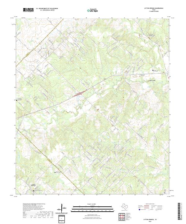
2022 Map of Lytton Springs
USGS Topo · Published 2022About this map
Lytton Springs and Cedar Creek anchor this survey of the central Texas corridor between Bastrop and Caldwell counties. The landscape is defined by a dense network of watercourses, including Cedar Creek and Alum Creek, which cut through the varied topography of the post oak savannah. For genealogists and local historians, the map is remarkably detailed regarding burial sites, documenting everything from the established Saint Marys Colony Baptist Church Cem to the modern Eloise Woods Community Natural Burial Park Cem. The transition from rural ranching to contemporary residential development is evident in the naming of roads like The Ranch Rd alongside newer subdivisions. Several important community landmarks are noted, including the Islamic Center of Great Austin Cem and both the Upper Cedar Creek Cem and Lower Cedar Creek Cem, providing a precise record of the area's social and spiritual geography.
Find a feature on this map
133 named features on this map. Tap any name to fly to it.
Don’t see what you’re looking for? This feature index may not catch every label — zoom into the map to look around manually.
Map Details
Editions of this 2022 Lytton Springs Map
This is the sole edition of this map. No revisions or reprints were ever made.
Other maps of this area

1885 · Bastrop
USGS Topo · 1:125,000

1893 · Bastrop
USGS Topo · 1:125,000

1896 · Austin
USGS Topo · 1:125,000

1897 · Austin
USGS Topo · 1:125,000

1901 · Flatonia
USGS Topo · 1:125,000

1904 · Bastrop
USGS Topo · 1:125,000

1910 · Austin
USGS Topo · 1:125,000

1911 · San Marcos
USGS Topo · 1:125,000

1919 · San Marcos
USGS Topo · 1:125,000

1930 · Lockhart
USGS Topo · 1:62,500