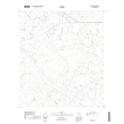
2019 Map of Bastrop SW
USGS Topo · Published 2019About this map
Cedar Creek serves as a central landmark for this part of Bastrop County, where the landscape is defined by the winding paths of Cedar Creek and its many tributaries. The area's cultural history is marked by several traditional burial grounds, including Wrights Cem, Wolfenberger Cem, and Pleasant Chapel Cem, which offer significant value for genealogical research in the region. Water features are a prominent part of the terrain, from the larger Clear Springs Lake and Voss Lake to the drainage networks of Long Br and Walnut Creek. The map shows a transition toward modern rural development with an extensive network of roads like FM 1209 Farm-To-Market Rd and Union Chapel Rd crisscrossing the creeks, while terrain features like Lower Cedar Hollow indicate the natural drainage patterns that have shaped land use since the original settlements.
Find a feature on this map
90 named features on this map. Tap any name to fly to it.
Don’t see what you’re looking for? This feature index may not catch every label — zoom into the map to look around manually.
Map Details
Editions of this 2019 Bastrop SW Map
This is the sole edition of this map. No revisions or reprints were ever made.
Other maps of this area

1885 · Bastrop
USGS Topo · 1:125,000

1893 · Bastrop
USGS Topo · 1:125,000

1896 · Austin
USGS Topo · 1:125,000

1897 · Austin
USGS Topo · 1:125,000

1901 · Flatonia
USGS Topo · 1:125,000

1904 · Bastrop
USGS Topo · 1:125,000

1910 · Austin
USGS Topo · 1:125,000

1911 · San Marcos
USGS Topo · 1:125,000

1919 · San Marcos
USGS Topo · 1:125,000

1930 · Lockhart
USGS Topo · 1:62,500