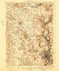
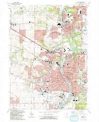
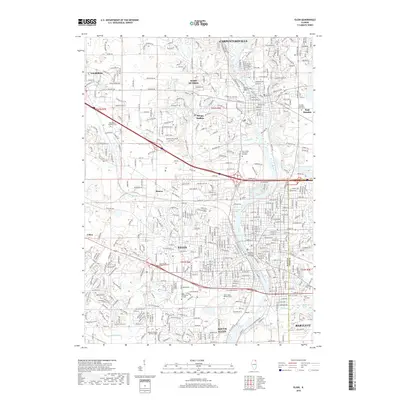
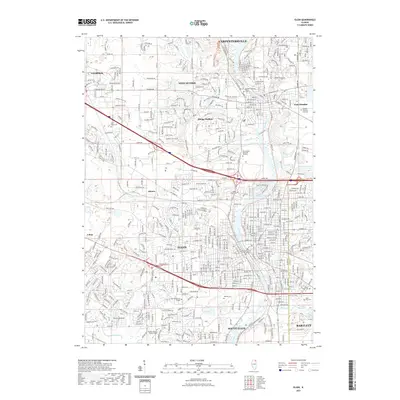
1925 Map of Elgin
USGS Topo · Published 1925About this map
The Fox River valley serves as the industrial and social spine of this 1920s landscape, anchoring the bustling riverfront communities of Elgin, East Dundee, and Carpentersville. This era reveals a complex network of transportation, where heavy rail lines like the Chicago and Northwestern intersect with the electric Elgin Belvidere and Rockford line, facilitating both transit and commerce between the Fox valley and the western prairies.
Find a feature on this map
84 named features on this map. Tap any name to fly to it.
Don’t see what you’re looking for? This feature index may not catch every label — zoom into the map to look around manually.
Map Details
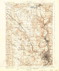
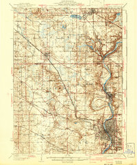
Editions of this 1925 Elgin Map
4 editions found

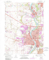
Historical Maps of Elgin Through Time
12 maps found
1925 Elgin
Kane County, IL

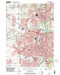
1940 Elgin
Kane County, IL

1962 Elgin
Kane County, IL
1962 Elgin
Kane County, IL

1981 Elgin
Kane County, IL
1992 Elgin
Kane County, IL
1998 Elgin
Kane County, IL
2012 Elgin
Kane County, IL
2015 Elgin
Kane County, IL
2018 Elgin
Kane County, IL
2021 Elgin
Kane County, IL
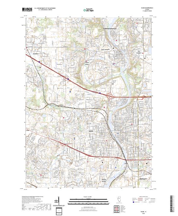
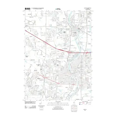
2024 Elgin
Kane County, IL