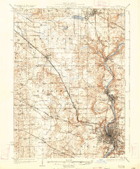
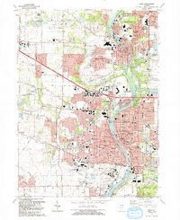
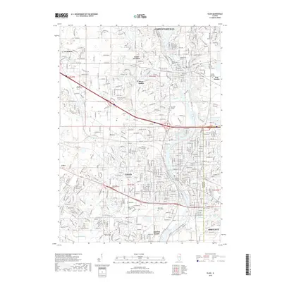
1925 Map of Elgin
USGS Topo · Published 1932About this map
The Fox River corridor anchors this mid-1920s landscape, serving as the industrial and social spine for growing settlements like Carpentersville, West Dundee, and the city of Elgin. Away from the river, the terrain transitions into an intensive agricultural and educational network. Dozens of named country schoolhouses, such as Munshawville School, Hickory Grove School, and Butler School, are distributed across the townships of Grafton, Rutland, and Plato, marking the centers of rural community life before school consolidation took hold.
Find a feature on this map
79 named features on this map. Tap any name to fly to it.
Don’t see what you’re looking for? This feature index may not catch every label — zoom into the map to look around manually.
Map Details
Editions of this 1925 Elgin Map
4 editions found

Historical Maps of Elgin Through Time
12 maps found
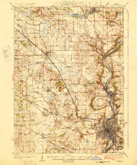
1925 Elgin
Kane County, IL

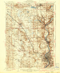
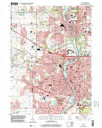
1940 Elgin
Kane County, IL

1962 Elgin
Kane County, IL
1962 Elgin
Kane County, IL

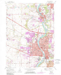
1981 Elgin
Kane County, IL
1992 Elgin
Kane County, IL
1998 Elgin
Kane County, IL
2012 Elgin
Kane County, IL
2015 Elgin
Kane County, IL
2018 Elgin
Kane County, IL
2021 Elgin
Kane County, IL
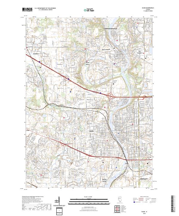
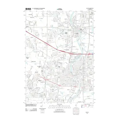
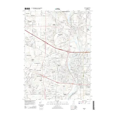
2024 Elgin
Kane County, IL