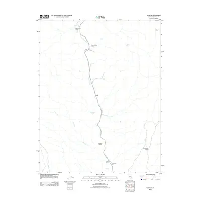
2012 Map of Elgin NE
USGS Topo · Published 2012About this map
Meadow Valley Wash defines the north-south corridor of this Lincoln County landscape, serving as the primary drainage and navigational axis for the surrounding canyon systems. This 2012 survey reveals a series of localized settlements and agricultural outposts tied to water sources, including the historic sites at Stine and Boyd. To the south, the terrain opens into Ash Flat near the intersection of Willow Canyon and Rainbow Canyon. Notable for its remote ranching history, the map identifies Elliott Ranch and the evocatively named Robbers Roost Ranch. The hydrology of the area is further characterized by numerous named springs that sustain local life in the arid environment, such as Flying Machine Spring, Hummingbird Spring, and Whiskey Spring. These features, along with names like Sawmill Canyon and Pennsylvania Canyon, suggest a history of diverse land use from timbering to prospecting along the Nevada drainage basins.
Find a feature on this map
21 named features on this map. Tap any name to fly to it.
Don’t see what you’re looking for? This feature index may not catch every label — zoom into the map to look around manually.
Map Details
Editions of this 2012 Elgin NE Map
This is the sole edition of this map. No revisions or reprints were ever made.
Other maps of this area

1885 · Pioche
USGS Topo · 1:250,000

1886 · Pioche
USGS Topo · 1:250,000

1954 · Caliente
USGS Topo · 1:250,000

1959 · Caliente
USGS Topo · 1:250,000

1969 · Elgin
USGS Topo · 1:24,000

1969 · Elgin NE
USGS Topo · 1:24,000

1969 · Slidy Mountain
USGS Topo · 1:24,000

1969 · Elgin SW
USGS Topo · 1:24,000
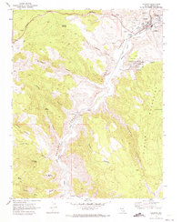
1970 · Caliente
USGS Topo · 1:24,000
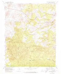
1970 · Chokecherry Mtn.
USGS Topo · 1:24,000