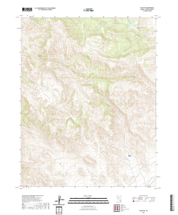
2021 Map of Elgin SW
USGS Topo · Published 2021About this map
The Delamar Mountains dominate this high-desert terrain, characterized by a complex network of canyons and vital water sources that sustained early activity in Lincoln County. The map reveals a land defined by its hydrology, with numerous localized water points such as Sawmill Spring, Upper Riggs Spring, and Lower Riggs Spring providing essential resources in an otherwise arid landscape. To the south, the deep drainage of Kane Springs Wash serves as a topographical focal point, while Boulder Canyon and Narrow Canyon cut through the high elevations. This area's geography was historically critical for livestock ranching and mining exploration, as evidenced by the distribution of family-named landmarks like Cabin Spring and Jump-Up Spring that mark the rugged contours of the eastern Nevada basin and range province.
Find a feature on this map
18 named features on this map. Tap any name to fly to it.
Don’t see what you’re looking for? This feature index may not catch every label — zoom into the map to look around manually.
Map Details
Editions of this 2021 Elgin SW Map
This is the sole edition of this map. No revisions or reprints were ever made.
Other maps of this area

1885 · Pioche
USGS Topo · 1:250,000

1886 · Pioche
USGS Topo · 1:250,000

1954 · Caliente
USGS Topo · 1:250,000

1959 · Caliente
USGS Topo · 1:250,000

1969 · Vigo NW
USGS Topo · 1:24,000

1969 · Delamar
USGS Topo · 1:24,000

1969 · Gregerson Basin
USGS Topo · 1:24,000

1969 · Delamar 3 NE
USGS Topo · 1:24,000

1969 · Elgin
USGS Topo · 1:24,000

1969 · Elgin NE
USGS Topo · 1:24,000