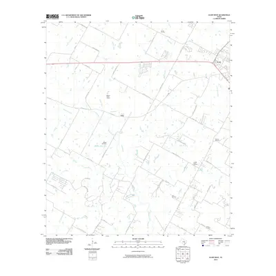
2010 Map of Elgin West
USGS Topo · Published 2010About this map
The western periphery of Elgin and the small community of Littig anchor this survey of the central Texas landscape. The terrain is defined by the drainage systems of Wilbarger Creek and Cottonwood Creek, which meander through a patchwork of rural landholdings and farm-to-market roads. This era of the region’s development is captured through its network of historic burial grounds, including the Schiller Cemetery to the north and the Youngs Prairie Cemetery further south, providing essential data points for local genealogists. Evidence of small-scale infrastructure and private aviation is found at Bakers Place Airport, while the managed water resources are visible at Sellers Lake and the Sellers Lake Dam. The map traces the early 21st-century suburban expansion and rural continuity through family-named thoroughfares like Albert Voelker Rd and Ballerstedt Rd, reflecting the deep-rooted agricultural heritage of the area.
Find a feature on this map
51 named features on this map. Tap any name to fly to it.
Don’t see what you’re looking for? This feature index may not catch every label — zoom into the map to look around manually.
Map Details
Editions of this 2010 Elgin West Map
This is the sole edition of this map. No revisions or reprints were ever made.
Other maps of this area

1885 · Bastrop
USGS Topo · 1:125,000

1893 · Bastrop
USGS Topo · 1:125,000

1896 · Austin
USGS Topo · 1:125,000

1897 · Austin
USGS Topo · 1:125,000

1904 · Bastrop
USGS Topo · 1:125,000

1910 · Austin
USGS Topo · 1:125,000

1948 · Elgin
USGS Topo · 1:62,500

1948 · Bastrop
USGS Topo · 1:62,500

1950 · Bastrop
USGS Topo · 1:62,500

1950 · Elgin
USGS Topo · 1:62,500