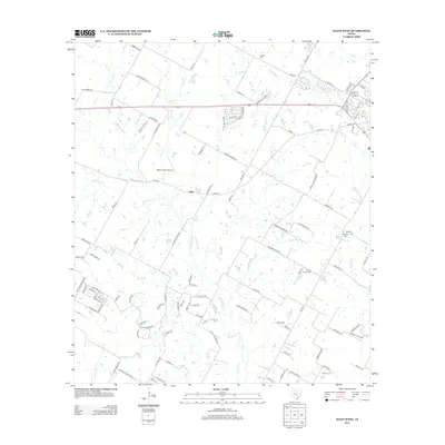
2012 Map of Elgin West
USGS Topo · Published 2012About this map
The settlement of Littig sits at a historic crossroads in eastern Travis County, reflecting a landscape shaped by rural industry and ancestral burial grounds. This 2012 survey documents a transition between established agricultural tracts and emerging residential development, with the drainage of Wilbarger Cr and Elm Cr carving through the terrain. The area is notable for its numerous small family and community burial sites, including Schiller Cem, Hog Eye Cem, and the Youngs Prairie Cem.
Find a feature on this map
104 named features on this map. Tap any name to fly to it.
Don’t see what you’re looking for? This feature index may not catch every label — zoom into the map to look around manually.
Map Details
Editions of this 2012 Elgin West Map
This is the sole edition of this map. No revisions or reprints were ever made.
Other maps of this area

1885 · Bastrop
USGS Topo · 1:125,000

1893 · Bastrop
USGS Topo · 1:125,000

1896 · Austin
USGS Topo · 1:125,000

1897 · Austin
USGS Topo · 1:125,000

1904 · Bastrop
USGS Topo · 1:125,000

1910 · Austin
USGS Topo · 1:125,000

1948 · Elgin
USGS Topo · 1:62,500

1948 · Bastrop
USGS Topo · 1:62,500

1950 · Bastrop
USGS Topo · 1:62,500

1950 · Elgin
USGS Topo · 1:62,500