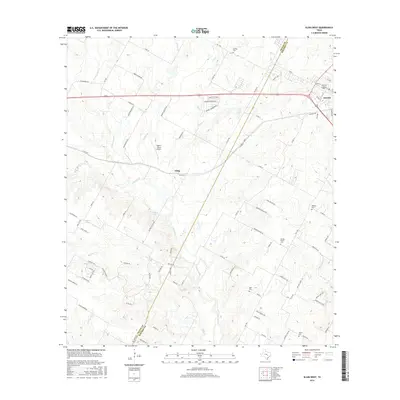
2016 Map of Elgin West
USGS Topo · Published 2016About this map
Elgin anchor the eastern edge of this landscape where the central Texas prairies meet the early agricultural settlements of the region. The map highlights a rural network of family-named roads and burial grounds that define the local genealogy, including Schiller Cem and Hog Eye Cem. The terrain is shaped by the winding paths of Wilbarger Cr and Cottonwood Cr, which have historically dictated the placement of homesteads and small communities like Littig.
Find a feature on this map
89 named features on this map. Tap any name to fly to it.
Don’t see what you’re looking for? This feature index may not catch every label — zoom into the map to look around manually.
Map Details
Editions of this 2016 Elgin West Map
This is the sole edition of this map. No revisions or reprints were ever made.
Other maps of this area

1885 · Bastrop
USGS Topo · 1:125,000

1893 · Bastrop
USGS Topo · 1:125,000

1896 · Austin
USGS Topo · 1:125,000

1897 · Austin
USGS Topo · 1:125,000

1904 · Bastrop
USGS Topo · 1:125,000

1910 · Austin
USGS Topo · 1:125,000

1948 · Elgin
USGS Topo · 1:62,500

1948 · Bastrop
USGS Topo · 1:62,500

1950 · Bastrop
USGS Topo · 1:62,500

1950 · Elgin
USGS Topo · 1:62,500