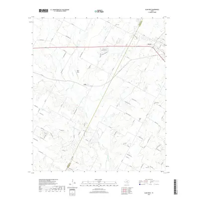
2019 Map of Elgin West
USGS Topo · Published 2019About this map
Elgin and the surrounding Travis and Bastrop County line country are captured here at a moment of modern transition. The map reveals the interplay between historical rural foundations and newer residential development, with the established settlement of Littig positioned south of the major transportation corridors. The landscape is defined by its drainages, including Cottonwood Creek, Willow Creek, and the extensive reaches of Wilbarger Creek, which cut through the undulating terrain.
Find a feature on this map
89 named features on this map. Tap any name to fly to it.
Don’t see what you’re looking for? This feature index may not catch every label — zoom into the map to look around manually.
Map Details
Editions of this 2019 Elgin West Map
This is the sole edition of this map. No revisions or reprints were ever made.
Other maps of this area

1885 · Bastrop
USGS Topo · 1:125,000

1893 · Bastrop
USGS Topo · 1:125,000

1896 · Austin
USGS Topo · 1:125,000

1897 · Austin
USGS Topo · 1:125,000

1904 · Bastrop
USGS Topo · 1:125,000

1910 · Austin
USGS Topo · 1:125,000

1948 · Elgin
USGS Topo · 1:62,500

1948 · Bastrop
USGS Topo · 1:62,500

1950 · Bastrop
USGS Topo · 1:62,500

1950 · Elgin
USGS Topo · 1:62,500