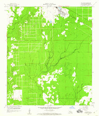
1959 Map of Elizabeth
USGS Topo · Published 1960About this map
Elizabeth sits at the northern edge of this Allen Parish landscape, serving as a primary settlement hub along the Gulf Colorado and Santa Fe RR. The surrounding terrain is defined by a dense network of watercourses, including the meandering Tenmile Creek and the confluence of Alligator Mill Creek and Black Creek. These waterways, along with features like Schoolhouse Branch and Little Mill Creek, suggest a landscape historically shaped by timber and water-driven industry. To the south, the presence of Turner Ch and the Hampton Memorial Cem provide important markers for genealogical research. The Turner Lookout Tower and a Gaging Sta further indicate the region's focus on land management and resource monitoring during the late 1950s.
Find a feature on this map
13 named features on this map. Tap any name to fly to it.
Don’t see what you’re looking for? This feature index may not catch every label — zoom into the map to look around manually.
Map Details
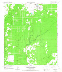
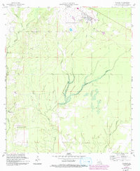
Editions of this 1959 Elizabeth Map
3 editions found
Other maps of this area

1935 · Mittie
USGS Topo · 1:31,680

1935 · Pawnee
USGS Topo · 1:31,680

1935 · Oakdale
USGS Topo · 1:31,680

1942 · Oakdale
USGS Topo · 1:62,500

1947 · Foley
USGS Topo · 1:31,680

1947 · Steep Gully
USGS Topo · 1:31,680

1947 · Pine Chapel
USGS Topo · 1:31,680

1947 · Elizabeth
USGS Topo · 1:31,680

1947 · Grant
USGS Topo · 1:31,680

1947 · Pitkin
USGS Topo · 1:31,680