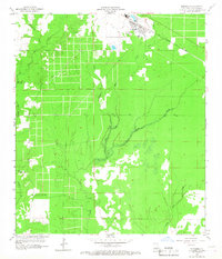
1959 Map of Elizabeth
USGS Topo · Published 1968About this map
The town of Elizabeth serves as the primary hub in this late 1950s survey of Allen Parish, situated at the junction of the Gulf Colorado and Santa Fe Ry and several vital waterways. The landscape is defined by its complex drainage network, where Tenmile Cr and Alligator Mill Creek carve through the piney woods of southwestern Louisiana. Local community life is anchored by landmarks such as Turner Church and the Hampton Memorial Cemetery, while the Turner Lookout Tower indicates the era's reliance on elevated surveillance for forest management. The presence of a Gaging Station on Tenmile Creek and various branches like Schoolhouse Branch and Little Mill Creek underscores a region deeply tied to its hydrological and timber-rich environment during this period of mid-century development.
Find a feature on this map
14 named features on this map. Tap any name to fly to it.
Don’t see what you’re looking for? This feature index may not catch every label — zoom into the map to look around manually.
Map Details
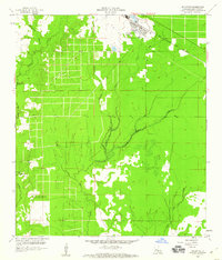
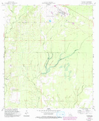
Editions of this 1959 Elizabeth Map
3 editions found
Other maps of this area

1935 · Mittie
USGS Topo · 1:31,680

1935 · Pawnee
USGS Topo · 1:31,680

1935 · Oakdale
USGS Topo · 1:31,680

1942 · Oakdale
USGS Topo · 1:62,500

1947 · Foley
USGS Topo · 1:31,680

1947 · Steep Gully
USGS Topo · 1:31,680

1947 · Pine Chapel
USGS Topo · 1:31,680

1947 · Elizabeth
USGS Topo · 1:31,680

1947 · Grant
USGS Topo · 1:31,680

1947 · Pitkin
USGS Topo · 1:31,680