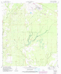
1959 Map of Elizabeth
USGS Topo · Published 1993About this map
Elizabeth sits at the northern edge of this Allen Parish landscape, a community defined by its proximity to the timber and water resources of central Louisiana. Just south of the town center, the Hampton Memorial Cem provides a genealogical anchor for local families, while an Old Railroad Grade cutting across the northeast corner speaks to the industrial transport history of the region. The terrain is intricately drained by a dense network of waterways, including Tenmile Creek, Mab Creek, and Alligator Mill Creek, the latter suggesting early water-powered industry in the area.
Find a feature on this map
14 named features on this map. Tap any name to fly to it.
Don’t see what you’re looking for? This feature index may not catch every label — zoom into the map to look around manually.
Map Details
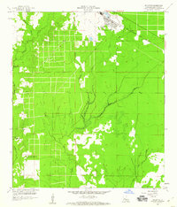
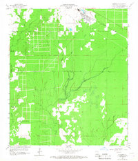
Editions of this 1959 Elizabeth Map
3 editions found
Other maps of this area

1935 · Mittie
USGS Topo · 1:31,680

1935 · Pawnee
USGS Topo · 1:31,680

1935 · Oakdale
USGS Topo · 1:31,680

1942 · Oakdale
USGS Topo · 1:62,500

1947 · Foley
USGS Topo · 1:31,680

1947 · Steep Gully
USGS Topo · 1:31,680

1947 · Pine Chapel
USGS Topo · 1:31,680

1947 · Elizabeth
USGS Topo · 1:31,680

1947 · Grant
USGS Topo · 1:31,680

1947 · Pitkin
USGS Topo · 1:31,680