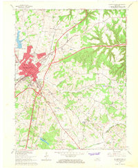
1967 Map of Elizabethtown
USGS Topo · Published 1968About this map
Elizabethtown serves as the focal point of this late 1960s survey, showing a period of significant transit expansion as the Kentucky Toll Road and Blue Grass Parkway converge near the city center. This infrastructure development cuts through a landscape still deeply rooted in its pioneer and nineteenth-century history, evidenced by the numerous small burial grounds and family-named landmarks. Features like the Helm Cem and Severns Valley Cem reflect the area’s early genealogy, while the Louisville and Nashville railroad tracks parallel the older northward routes toward Tunnel Hill. The transition from rural agriculture to mid-century suburbanization is visible in the emergence of the Indian Hills neighborhood and the Elizabethtown Country Club. Further south, the boundary between Hardin Co and LaRue Co meanders across Middle Creek, marking the edge of the plateau before it drops toward the rolling hills of the Green River watershed.
Find a feature on this map
56 named features on this map. Tap any name to fly to it.
Don’t see what you’re looking for? This feature index may not catch every label — zoom into the map to look around manually.
Map Details
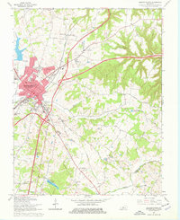
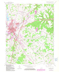
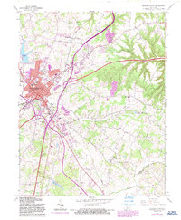
Editions of this 1967 Elizabethtown Map
4 editions found
Other maps of this area

1935 · Elizabethtown
USGS Topo · 1:48,000

1936 · Vine Grove
USGS Topo · 1:62,500

1938 · Elizabethtown
USGS Topo · 1:62,500

1943 · Vine Grove
USGS Topo · 1:62,500

1946 · Colesburg
USGS Topo · 1:24,000

1946 · Vine Grove
USGS Topo · 1:24,000

1946 · Vine Grove
USGS Topo · 1:62,500

1948 · Cecilia
USGS Topo · 1:24,000

1949 · Sonora
USGS Topo · 1:24,000

1949 · Tonieville
USGS Topo · 1:24,000