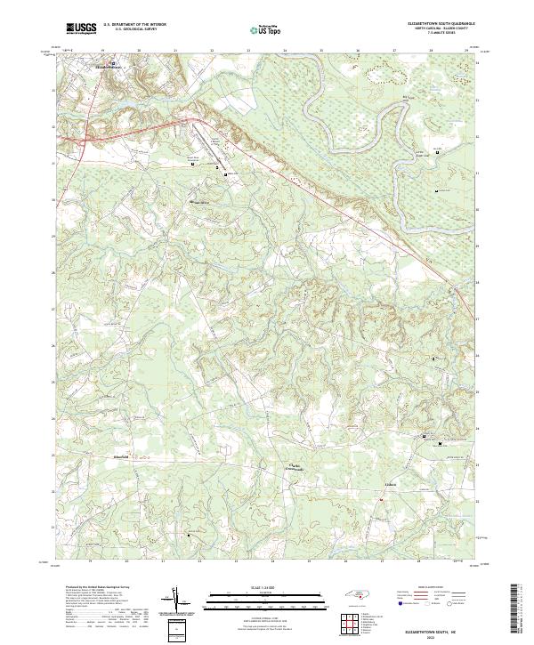
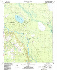
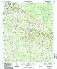
2022 Map of Elizabethtown South
USGS Topo · Published 2022About this map
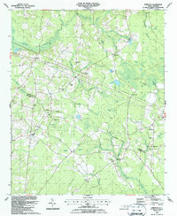
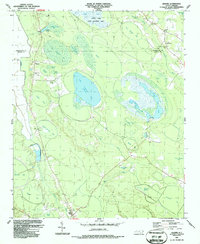
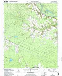
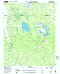
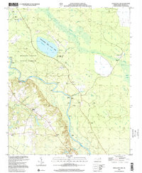
Cape Fear River dominates the northeastern landscape of this Bladen County region, carving a winding path past notable terrain features like Big Sugar Loaf and Little Sugar Loaf. South of the county seat of Elizabethtown, the terrain transitions into a complex network of creeks and bays, including Cotton Head Bay and Rice Pond Bay. The settlement pattern is defined by rural communities and historical family hubs such as Mount Olive, Bluefield, and Clarks Crossroads.
Find a feature on this map
91 named features on this map. Tap any name to fly to it.
Don’t see what you’re looking for? This feature index may not catch every label — zoom into the map to look around manually.
Map Details
Editions of this 2022 Elizabethtown South Map
This is the sole edition of this map. No revisions or reprints were ever made.
Historical Maps of North Carolina Through Time
23 maps found
1986 Council
Bladen County, NC
1986 Duart
Bladen County, NC
1986 Rowan
Bladen County, NC
1986 Singletary Lake
Bladen County, NC
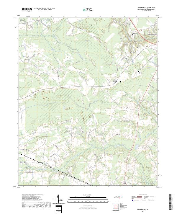
1987 Abbottsburg
Bladen County, NC
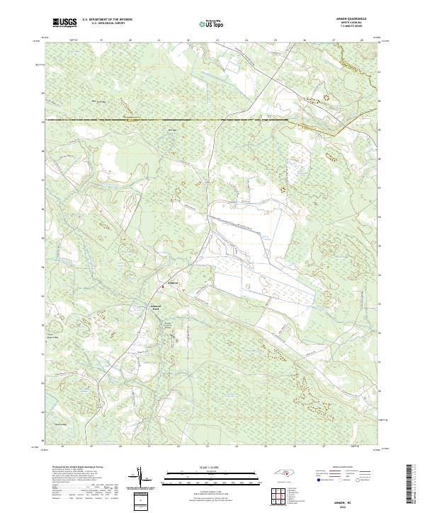
1987 Ammon
Bladen County, NC
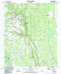
1987 Elizabethtown North
Bladen County, NC
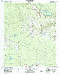
1987 Elizabethtown South
Bladen County, NC
1987 Emerson
Bladen County, NC
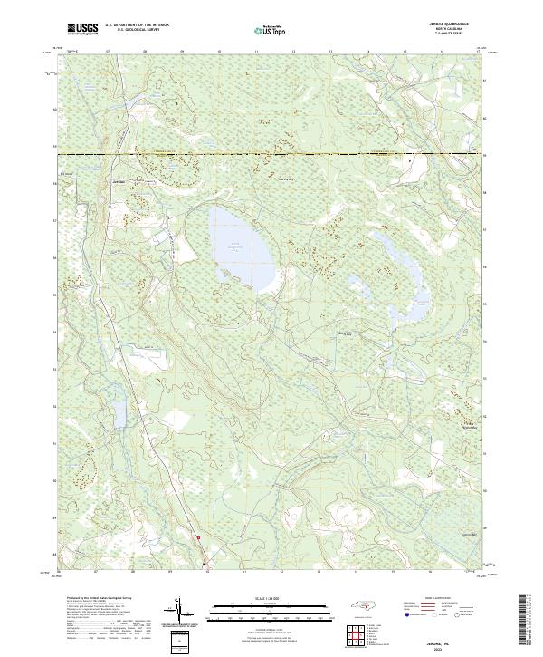
1987 Jerome
Bladen County, NC
2002 Council
Bladen County, NC
2002 Jerome
Bladen County, NC
2002 Singletary Lake
Bladen County, NC
2022 Abbottsburg
Bladen County, NC
2022 Ammon
Bladen County, NC
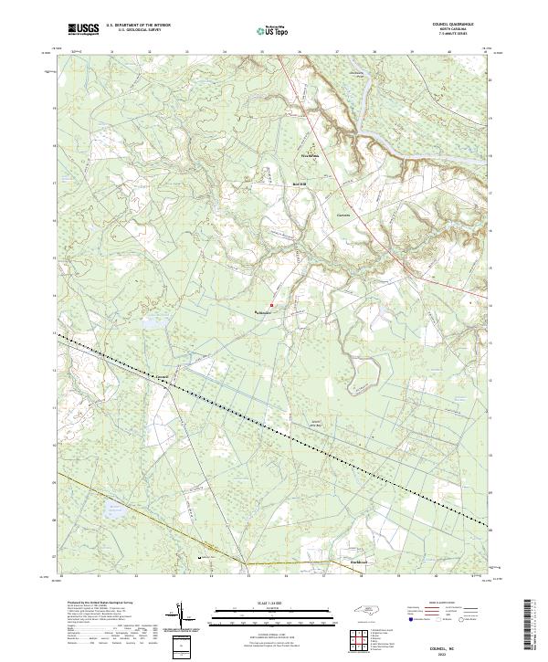
2022 Council
Bladen County, NC
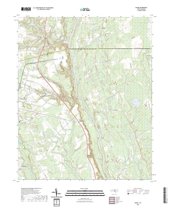
2022 Duart
Bladen County, NC
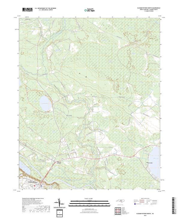
2022 Elizabethtown North
Bladen County, NC
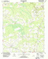
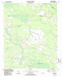
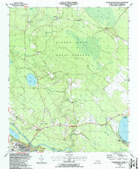
2022 Elizabethtown South
Bladen County, NC
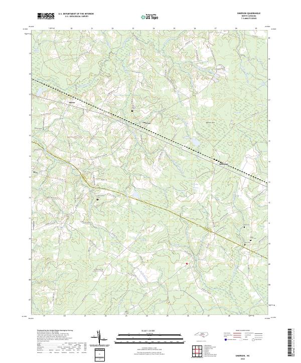
2022 Emerson
Bladen County, NC
2022 Jerome
Bladen County, NC
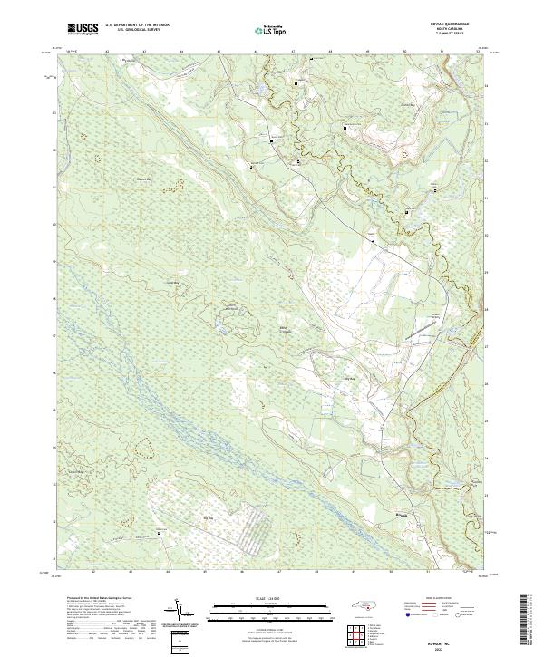
2022 Rowan
Bladen County, NC
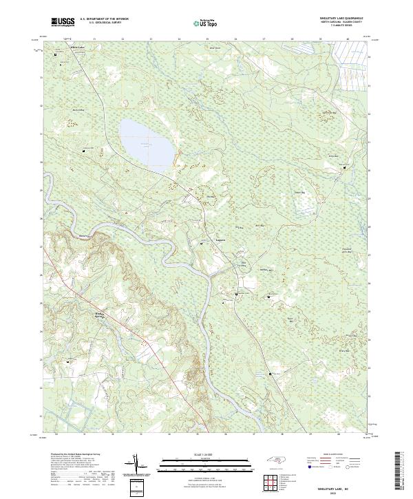
2022 Singletary Lake
Bladen County, NC