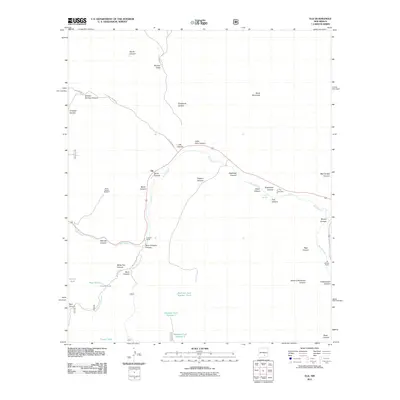
2011 Map of Elk
USGS Topo · Published 2011About this map
Elk sits at the heart of this landscape where the Rio Peñasco flows through a series of dramatic canyons. This 2011 survey captures a region defined by ranching life and deep geographic incisions, from the wide Agua Chiquita Canyon to the heights of Wind Mountain. The map provides specific location data for family-named sites such as Crockett Ranch and the J B Runyan Ranch, reflecting the enduring agricultural roots of the area.
Find a feature on this map
43 named features on this map. Tap any name to fly to it.
Don’t see what you’re looking for? This feature index may not catch every label — zoom into the map to look around manually.
Map Details
Editions of this 2011 Elk Map
This is the sole edition of this map. No revisions or reprints were ever made.
Other maps of this area

1954 · Carlsbad
USGS Topo · 1:250,000

1955 · Roswell
USGS Topo · 1:250,000

1958 · Carlsbad
USGS Topo · 1:250,000

1958 · Roswell
USGS Topo · 1:250,000

1961 · Flying H
USGS Topo · 1:62,500

1962 · Roswell
USGS Topo · 1:250,000

1962 · Dunken
USGS Topo · 1:62,500

1963 · Clements Ranch
USGS Topo · 1:24,000

1963 · Mayhill
USGS Topo · 1:24,000

1963 · Turkey Peak
USGS Topo · 1:24,000