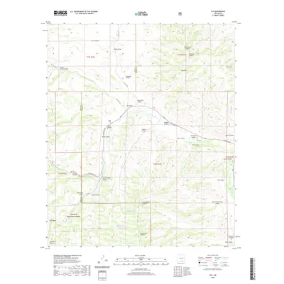
2020 Map of Elk
USGS Topo · Published 2020About this map
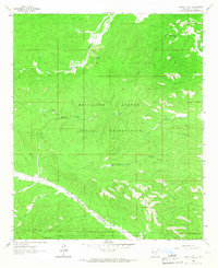
Rio Peñasco flows through the center of this terrain, following a corridor that defines the small settlement of Elk. This portion of the Sacramento Mountains is characterized by an intricate network of deep drainages, including Agua Chiquita Canyon and Graveyard Canyon, where the Elk Cem is situated near Paul Springs. Much of the land is managed as part of the Lincoln National Forest, where the topography rises toward Wind Mtn in the north. The map reveals a landscape shaped by water management in a dry climate, evidenced by the series of livestock tanks like Mathews Tank Number 1 and Mathews Tank Number 2. These features, along with names like Sixteen Springs Canyon, suggest the vital importance of scattered water sources for ranching and forest operations in this New Mexico high country.
Find a feature on this map
50 named features on this map. Tap any name to fly to it.
Don’t see what you’re looking for? This feature index may not catch every label — zoom into the map to look around manually.
Map Details
Editions of this 2020 Elk Map
This is the sole edition of this map. No revisions or reprints were ever made.
Other maps of this area

1954 · Carlsbad
USGS Topo · 1:250,000
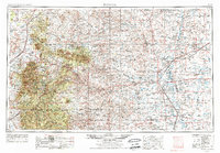
1955 · Roswell
USGS Topo · 1:250,000

1958 · Carlsbad
USGS Topo · 1:250,000
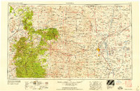
1958 · Roswell
USGS Topo · 1:250,000
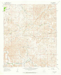
1961 · Flying H
USGS Topo · 1:62,500
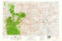
1962 · Roswell
USGS Topo · 1:250,000
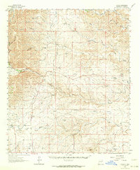
1962 · Dunken
USGS Topo · 1:62,500
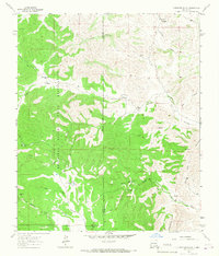
1963 · Clements Ranch
USGS Topo · 1:24,000
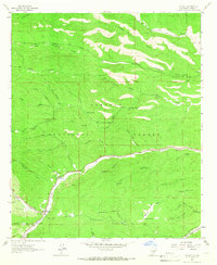
1963 · Mayhill
USGS Topo · 1:24,000
1963 · Turkey Peak
USGS Topo · 1:24,000