
1960 Map of Elk Creek
USGS Topo · Published 1982About this map
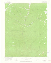
Hermosa Creek flows southward through the heart of this high-elevation mountain terrain, forming a central drainage network within the San Juan National Forest. Surveyed in the late 1950s and updated in the 1970s, the map reveals a wilderness landscape shaped by water and primitive transport routes. The convergence of numerous named tributaries, including Big Bend Creek, Salt Creek, and the dual forks of North Hope Creek and South Hope Creek, illustrates the complex hydrology of the La Plata region.
Find a feature on this map
29 named features on this map. Tap any name to fly to it.
Don’t see what you’re looking for? This feature index may not catch every label — zoom into the map to look around manually.
Map Details
Editions of this 1960 Elk Creek Map
5 editions found

Other maps of this area

1895 · La Plata
USGS Topo · 1:62,500

1897 · La Plata
USGS Topo · 1:62,500

1897 · Rico
USGS Topo · 1:62,500

1898 · Durango
USGS Topo · 1:62,500

1898 · Engineer Mountain
USGS Topo · 1:62,500

1898 · Rico
USGS Topo · 1:62,500

1899 · La Plata
USGS Topo · 1:62,500

1899 · Rico
USGS Topo · 1:62,500

1900 · Engineer Mountain
USGS Topo · 1:62,500

1907 · Durango
USGS Topo · 1:62,500