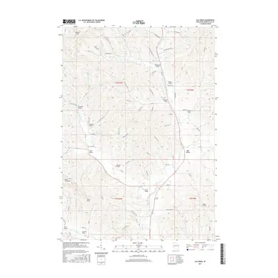
2015 Map of Elk Creek
USGS Topo · Published 2015About this map
Elk Creek serves as the namesake for this deeply incised landscape in Trempealeau County, where a complex network of branching drainages has created a distinctive series of named valleys. The terrain is defined by a dense system of coulées and ridges, including the prominent Walek Knob and the long expanse of Silver Fox Ridge. These geological features shaped the local settlement patterns, with roads and homesteads following the contours of Bennett Valley, Insteness Valley, and Borst Valley.
Find a feature on this map
78 named features on this map. Tap any name to fly to it.
Don’t see what you’re looking for? This feature index may not catch every label — zoom into the map to look around manually.
Map Details
Editions of this 2015 Elk Creek Map
This is the sole edition of this map. No revisions or reprints were ever made.
Other maps of this area

1926 · Whitehall
USGS Topo · 1:62,500

1927 · Strum
USGS Topo · 1:62,500

1929 · Whitehall
USGS Topo · 1:62,500

1930 · Strum
USGS Topo · 1:62,500

1932 · Gilmanton
USGS Topo · 1:62,500

1932 · Mondovi
USGS Topo · 1:62,500

1953 · Eau Claire
USGS Topo · 1:250,000

1958 · Eau Claire
USGS Topo · 1:250,000

1964 · Eau Claire
USGS Topo · 1:250,000
1973 · Strum SE
USGS Topo · 1:24,000