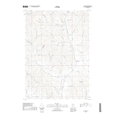
2018 Map of Elk Creek
USGS Topo · Published 2018About this map
Silver Fox Ridge and Walek Knob overlook a landscape deeply carved by Coulees and creek systems in this Trempealeau County survey. The terrain is defined by a dense network of named valleys, including Sunshine Valley, Insteness Valley, and Borst Valley, which dictate the placement of rural homesteads and agricultural roads. These valleys serve as the primary drainage routes for local waterways like Borst Valley Cr and Chimney Rock Cr. Near the southern edge of the map, the settlement of Whitehall stands as a focal point, while the Cripps Cem provides a specific point of interest for genealogists tracking early residents of the Elk Creek area. The road network, composed of routes such as Co RD VV and Co RD BB, follows the contours of the land, connecting disparate settlements through the narrow flatlands of the coulees.
Find a feature on this map
77 named features on this map. Tap any name to fly to it.
Don’t see what you’re looking for? This feature index may not catch every label — zoom into the map to look around manually.
Map Details
Editions of this 2018 Elk Creek Map
This is the sole edition of this map. No revisions or reprints were ever made.
Other maps of this area

1926 · Whitehall
USGS Topo · 1:62,500

1927 · Strum
USGS Topo · 1:62,500

1929 · Whitehall
USGS Topo · 1:62,500

1930 · Strum
USGS Topo · 1:62,500

1932 · Gilmanton
USGS Topo · 1:62,500

1932 · Mondovi
USGS Topo · 1:62,500

1953 · Eau Claire
USGS Topo · 1:250,000

1958 · Eau Claire
USGS Topo · 1:250,000

1964 · Eau Claire
USGS Topo · 1:250,000
1973 · Strum SE
USGS Topo · 1:24,000