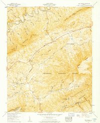
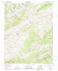
1958 Map of Elk Garden
USGS Topo · Published 1960About this map
The Clinch River carves through the northern reaches of this Russell County landscape, where the Jefferson National Forest blankets the steep ridges of House and Barn Mountain and Beartown Mountain. This 1958 field examination reveals a highly localized settlement pattern defined by numerous family-named cemeteries and hollows. Genealogists will find a wealth of specific locations including Mutter Cem, Fogleman Cem, and Hendricks Cem, along with community hubs like the Elk Garden Sch and Hubbard Chapel. The valley floor is networked by the Lonesome Pine Road, connecting small settlements such as Blackford, Rosedale, and Corn Valley. This era shows a rural Virginia landscape where every prominent hollow—from John Hess Hollow to Patrick Hollow—retains the names of its early inhabitants, reflecting deep-rooted ties to the Appalachian terrain.
Find a feature on this map
84 named features on this map. Tap any name to fly to it.
Don’t see what you’re looking for? This feature index may not catch every label — zoom into the map to look around manually.
Map Details
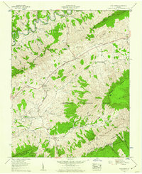
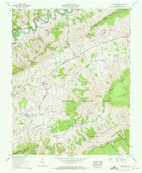
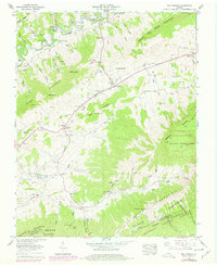
Editions of this 1958 Elk Garden Map
6 editions found
Other maps of this area

1886 · Grundy
USGS Topo · 1:125,000

1890 · Grundy
USGS Topo · 1:125,000

1891 · Tazewell
USGS Topo · 1:125,000

1891 · Abingdon
USGS Topo · 1:125,000

1892 · Grundy
USGS Topo · 1:125,000

1894 · Abingdon
USGS Topo · 1:125,000

1895 · Tazewell
USGS Topo · 1:125,000

1897 · Tazewell
USGS Topo · 1:125,000

1897 · Bristol
USGS Topo · 1:125,000

1902 · Bristol
USGS Topo · 1:125,000