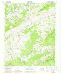
1958 Map of Elk Garden
USGS Topo · Published 1978About this map
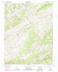
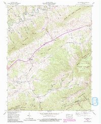
Clinch River drainage patterns define this area of the Appalachian Highlands in the mid-20th century, where the valley floor is divided by prominent ridges like House and Barn Mountain and Clinch Mountain. The landscape is a mix of small agricultural settlements and natural conservation areas, including the Clinch Mountain State Wildlife Management Area and portions of the Jefferson National Forest. This survey captures the transition from traditional mountain life to modern infrastructure, evidenced by the presence of a substation alongside the legendary path of The Lonesome Pine Trail. Family names are deeply etched into the geography, with numerous homestead cemeteries such as Hess Cem, McFarlane Cem, and Fogleman Cem scattered along the hollows. Educational and spiritual centers like the Elk Garden School and Snead Chapel served as the anchors for communities like Elk Garden and Rockdell.
Find a feature on this map
92 named features on this map. Tap any name to fly to it.
Don’t see what you’re looking for? This feature index may not catch every label — zoom into the map to look around manually.
Map Details
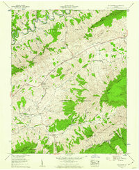
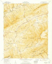
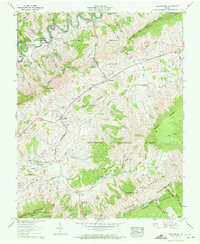
Editions of this 1958 Elk Garden Map
6 editions found
Other maps of this area

1886 · Grundy
USGS Topo · 1:125,000

1890 · Grundy
USGS Topo · 1:125,000

1891 · Tazewell
USGS Topo · 1:125,000

1891 · Abingdon
USGS Topo · 1:125,000

1892 · Grundy
USGS Topo · 1:125,000

1894 · Abingdon
USGS Topo · 1:125,000

1895 · Tazewell
USGS Topo · 1:125,000

1897 · Tazewell
USGS Topo · 1:125,000

1897 · Bristol
USGS Topo · 1:125,000

1902 · Bristol
USGS Topo · 1:125,000