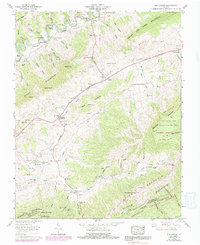
1958 Map of Elk Garden
USGS Topo · Published 1991About this map
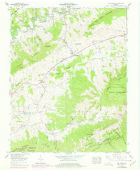
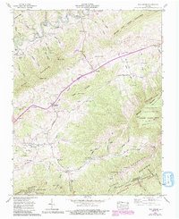
Clinch River flows across the northern reaches of this territory, where the Dismantled Railroad and the historic The Trail of the Lonesome Pine trace the valley floor. This mid-century survey reveals a landscape deeply tied to family lineage, evidenced by dozens of small burial grounds such as Hendricks Cem, Fogleman Cem, and Mutter Cem scattered across the ridges. The community structure of the late 1950s is anchored by the Elk Garden Sch and rural sanctuaries like Elk Garden Chapel and Snead Chapel. Distinctive terrain features, including the massive House and Barn Mountain and the high point at Beartown, define the local topography. The map also documents the remote settlements of Rockdell and Corn Valley, providing a detailed view of the Russell Co and Washington Co border before modern development altered these mountain hollows.
Find a feature on this map
86 named features on this map. Tap any name to fly to it.
Don’t see what you’re looking for? This feature index may not catch every label — zoom into the map to look around manually.
Map Details
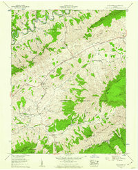
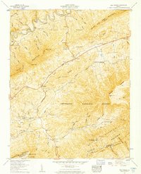
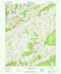
Editions of this 1958 Elk Garden Map
6 editions found
Other maps of this area

1886 · Grundy
USGS Topo · 1:125,000

1890 · Grundy
USGS Topo · 1:125,000

1891 · Tazewell
USGS Topo · 1:125,000

1891 · Abingdon
USGS Topo · 1:125,000

1892 · Grundy
USGS Topo · 1:125,000

1894 · Abingdon
USGS Topo · 1:125,000

1895 · Tazewell
USGS Topo · 1:125,000

1897 · Tazewell
USGS Topo · 1:125,000

1897 · Bristol
USGS Topo · 1:125,000

1902 · Bristol
USGS Topo · 1:125,000