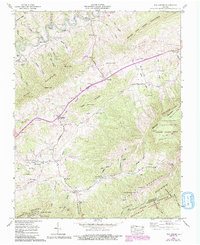
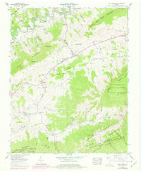
1958 Map of Elk Garden
USGS Topo · Published 1993About this map
Elk Garden and its namesake creek valley characterize this portion of Russell County, where mid-century agricultural patterns are documented through numerous family-named landmarks and rural institutions. The landscape is defined by the significant ridges of House and Barn Mountain and Webb Mountain, which hem in a network of narrow valleys and hollows. Local centers of community life are captured through sites like Elk Garden Church and Elk Garden School, while the historic Trail of the Lonesome Pine follows a winding route across the terrain.
Find a feature on this map
95 named features on this map. Tap any name to fly to it.
Don’t see what you’re looking for? This feature index may not catch every label — zoom into the map to look around manually.
Map Details
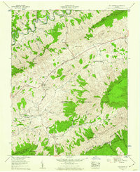
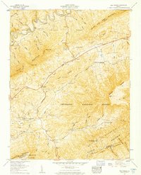
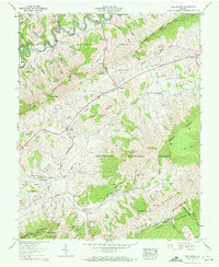
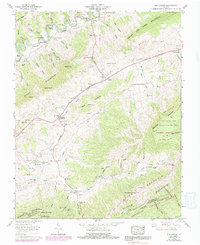
Editions of this 1958 Elk Garden Map
6 editions found
Other maps of this area

1886 · Grundy
USGS Topo · 1:125,000

1890 · Grundy
USGS Topo · 1:125,000

1891 · Tazewell
USGS Topo · 1:125,000

1891 · Abingdon
USGS Topo · 1:125,000

1892 · Grundy
USGS Topo · 1:125,000

1894 · Abingdon
USGS Topo · 1:125,000

1895 · Tazewell
USGS Topo · 1:125,000

1897 · Tazewell
USGS Topo · 1:125,000

1897 · Bristol
USGS Topo · 1:125,000

1902 · Bristol
USGS Topo · 1:125,000