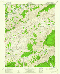
1958 Map of Elk Garden
USGS Topo · Published 1960About this map
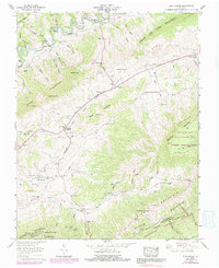
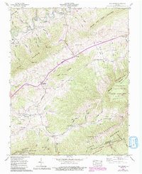
Jefferson National Forest dominates this section of the Appalachian landscape, where steep ridges like House and Barn Mountain and Webb Mountain create a series of isolated hollows. Settlement patterns follow the winding path of the Clinch River and the narrow valleys carved by Elk Garden Creek and Lewis Creek. Small rural communities such as Rosedale and Elk Garden serve as focal points for the surrounding mountain homesteads, often centered around local landmarks like the Elk Garden Sch and Elk Garden Ch.
Find a feature on this map
78 named features on this map. Tap any name to fly to it.
Don’t see what you’re looking for? This feature index may not catch every label — zoom into the map to look around manually.
Map Details
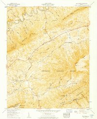
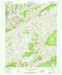
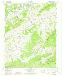
Editions of this 1958 Elk Garden Map
6 editions found
Other maps of this area

1886 · Grundy
USGS Topo · 1:125,000

1890 · Grundy
USGS Topo · 1:125,000

1891 · Tazewell
USGS Topo · 1:125,000

1891 · Abingdon
USGS Topo · 1:125,000

1892 · Grundy
USGS Topo · 1:125,000

1894 · Abingdon
USGS Topo · 1:125,000

1895 · Tazewell
USGS Topo · 1:125,000

1897 · Tazewell
USGS Topo · 1:125,000

1897 · Bristol
USGS Topo · 1:125,000

1902 · Bristol
USGS Topo · 1:125,000