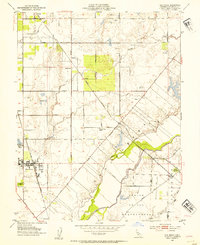
1952 Map of Elk Grove
USGS Topo · Published 1984About this map
Elk Grove serves as the primary hub of this Sacramento County landscape in the early 1950s, centered along the Southern Pacific railroad line. The town is marked by local landmarks like the Union High Sch, a Winery, and the Elk Grove Park, reflecting a mid-century agricultural community during its transition toward more suburban development. Beyond the main settlement, the area is defined by long, straight arterial roads such as Elk Grove Florin Road and Grant Line Road that cut across a terrain shaped by the Cosumnes River and Deer Creek.
Find a feature on this map
36 named features on this map. Tap any name to fly to it.
Don’t see what you’re looking for? This feature index may not catch every label — zoom into the map to look around manually.
Map Details
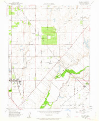
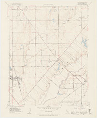
Editions of this 1952 Elk Grove Map
3 editions found
Other maps of this area

1891 · Sacramento
USGS Topo · 1:125,000

1892 · Sacramento
USGS Topo · 1:125,000

1893 · Sacramento
USGS Topo · 1:125,000

1894 · Lodi
USGS Topo · 1:125,000

1902 · Fairoaks
USGS Topo · 1:62,500

1908 · Buffalo Creek
USGS Topo · 1:31,680

1909 · Elk Grove
USGS Topo · 1:31,680

1909 · Clay
USGS Topo · 1:31,680

1909 · Cosumnes
USGS Topo · 1:31,680

1909 · Florin
USGS Topo · 1:31,680