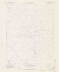
1967 Map of Elk Mountain
USGS Topo · Published 1969About this map
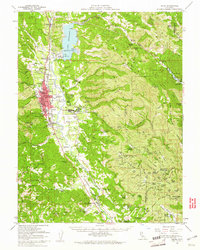
Mendocino National Forest defines the character of this mid-1960s landscape, where rugged ridges and deep canyons dictate the flow of travel and settlement. The terrain is marked by prominent elevations like Elk Mountain, Horse Mountain, and Poges Peak, while the drainage system of the Rice Fork and Middle Fork creates a complex network of seasonal and perennial waters. Evidence of early industry and habitation appears at the Prather Mill (Site) and Howard Mill Station, suggesting a history of timber processing or logistical support within the forest boundaries.
Find a feature on this map
51 named features on this map. Tap any name to fly to it.
Don’t see what you’re looking for? This feature index may not catch every label — zoom into the map to look around manually.
Map Details
Editions of this 1967 Elk Mountain Map
4 editions found
Other maps of this area

1920 · Ukiah
USGS Topo · 1:62,500

1922 · Hullville
USGS Topo · 1:62,500

1938 · Lakeport
USGS Topo · 1:62,500

1943 · Pomo
USGS Topo · 1:62,500

1944 · Ukiah
USGS Topo · 1:62,500

1951 · Lake Pillsbury
USGS Topo · 1:62,500

1951 · Lakeport
USGS Topo · 1:62,500

1957 · Ukiah
USGS Topo · 1:250,000

1958 · Cow Mountain
USGS Topo · 1:24,000
1958 · Ukiah
USGS Topo · 1:62,500