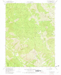
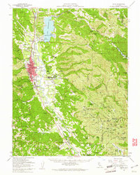
1967 Map of Elk Mountain
USGS Topo · Published 1982About this map
Mendocino National Forest defines this high-elevation landscape within Lake County and Mendocino County as it was surveyed in the mid-1960s. The map highlights a history of small-scale industry and early settlement through labels like Enterprise and the Prather Mill (Site). The terrain is deeply incised by drainages such as Bucknell Creek and Bevans Creek, which flow around prominent peaks including Elk Mountain and Horse Mountain.
Find a feature on this map
48 named features on this map. Tap any name to fly to it.
Don’t see what you’re looking for? This feature index may not catch every label — zoom into the map to look around manually.
Map Details
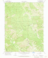
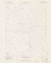
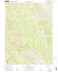
Editions of this 1967 Elk Mountain Map
4 editions found
Other maps of this area

1920 · Ukiah
USGS Topo · 1:62,500

1922 · Hullville
USGS Topo · 1:62,500

1938 · Lakeport
USGS Topo · 1:62,500

1943 · Pomo
USGS Topo · 1:62,500

1944 · Ukiah
USGS Topo · 1:62,500

1951 · Lake Pillsbury
USGS Topo · 1:62,500

1951 · Lakeport
USGS Topo · 1:62,500

1957 · Ukiah
USGS Topo · 1:250,000

1958 · Cow Mountain
USGS Topo · 1:24,000
1958 · Ukiah
USGS Topo · 1:62,500