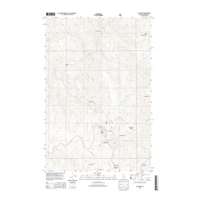
2014 Map of Elk River
USGS Topo · Published 2014About this map
Elk River sits at the heart of this North Idaho landscape, where the town's character is defined by the surrounding timberlands and the waters of Elk Creek Reservoir. This modern 2014 survey documents the area's transition into a regional recreational hub, featuring the Elk River Dam Public Fishing Area and the Elk River Airport. The topography is defined by prominent high points such as Shattuck Butte and Windy Point, with the drainage network dominated by Elk Cr and its numerous tributaries including Johnson Cr and Morris Cr. The local road system, including Id-8 and Elk Creek Falls Rd, provides access to distinctive locations like Christianson Meadows and Robideaux Meadows. This data-rich map captures the contemporary layout of the townsite and its immediate backcountry, from the residential streets of the settlement to the high ridges of Tick Ridge and Anderson Ridge.
Find a feature on this map
40 named features on this map. Tap any name to fly to it.
Don’t see what you’re looking for? This feature index may not catch every label — zoom into the map to look around manually.
Map Details
Editions of this 2014 Elk River Map
This is the sole edition of this map. No revisions or reprints were ever made.
Other maps of this area

1955 · Pullman
USGS Topo · 1:250,000

1958 · Pullman
USGS Topo · 1:250,000

1961 · Ahsahka
USGS Topo · 1:62,500

1961 · Bovill
USGS Topo · 1:62,500

1969 · Elk River
USGS Topo · 1:24,000

1969 · Elk Creek Falls
USGS Topo · 1:24,000
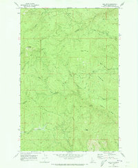
1969 · Elk Butte
USGS Topo · 1:24,000

1969 · Anthony Peak
USGS Topo · 1:24,000
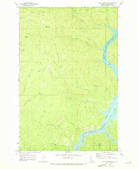
1969 · Little Green Mountain
USGS Topo · 1:24,000
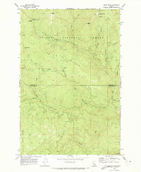
1969 · Grice Ridge
USGS Topo · 1:24,000