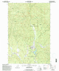
1994 Map of Elk River
USGS Topo · Published 1997About this map
Elk River serves as the focal point of this mountainous landscape, situated at the confluence of several drainages within the St Joe National Forest. The presence of the CPTPA Hdqrs underscores the historical importance of forest protection and management in this timber-rich region of Idaho. The landscape is defined by the winding course of Elk Creek and its reservoir, Elk Creek Res, which includes a distinct spillway.
Find a feature on this map
38 named features on this map. Tap any name to fly to it.
Don’t see what you’re looking for? This feature index may not catch every label — zoom into the map to look around manually.
Map Details
Editions of this 1994 Elk River Map
This is the sole edition of this map. No revisions or reprints were ever made.
Other maps of this area

1955 · Pullman
USGS Topo · 1:250,000

1958 · Pullman
USGS Topo · 1:250,000

1961 · Ahsahka
USGS Topo · 1:62,500

1961 · Bovill
USGS Topo · 1:62,500

1969 · Elk River
USGS Topo · 1:24,000

1969 · Elk Creek Falls
USGS Topo · 1:24,000
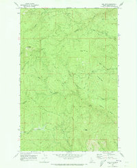
1969 · Elk Butte
USGS Topo · 1:24,000

1969 · Anthony Peak
USGS Topo · 1:24,000
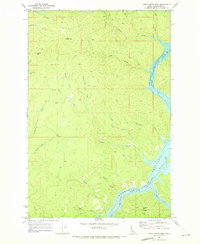
1969 · Little Green Mountain
USGS Topo · 1:24,000
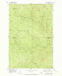
1969 · Grice Ridge
USGS Topo · 1:24,000