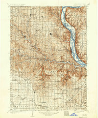
1902 Map of Elkader
USGS Topo · Published 1936About this map
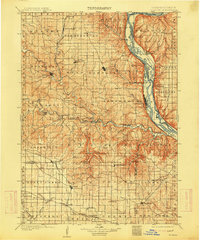
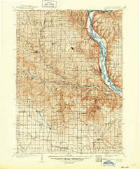
Elkader and the deep valleys of the Mississippi River and Turkey River define this corner of northeast Iowa and western Wisconsin. Surveyed at the turn of the twentieth century, the landscape reflects a mature agricultural and river-based economy. The prominent bluffs along the Mississippi harbor towns like Guttenberg and Garnavillo, while the interior is a network of small farming hamlets such as Bismarck, National, and Communia. Transport is anchored by the Chicago Milwaukee and St. Paul RR and the Chicago Burlington and Northern RR, which trace the riverbanks and ridges to connect these isolated communities. The map captures the area before modern infrastructure altered the flow of the Volga River, showing the original positions of crossings like Osterdock and the mills at Motor.
Find a feature on this map
95 named features on this map. Tap any name to fly to it.
Don’t see what you’re looking for? This feature index may not catch every label — zoom into the map to look around manually.
Map Details
Editions of this 1902 Elkader Map
4 editions found
Other maps of this area

1900 · Anamosa
USGS Topo · 1:125,000

1900 · Lancaster
USGS Topo · 1:125,000

1901 · Peosta
USGS Topo · 1:125,000

1901 · Oelwein
USGS Topo · 1:125,000

1902 · Elkader
USGS Topo · 1:125,000

1903 · Waukon
USGS Topo · 1:125,000

1903 · Winthrop
USGS Topo · 1:125,000

1904 · Lancaster
USGS Topo · 1:125,000

1906 · Decorah
USGS Topo · 1:125,000

1908 · Lancaster
USGS Topo · 1:125,000