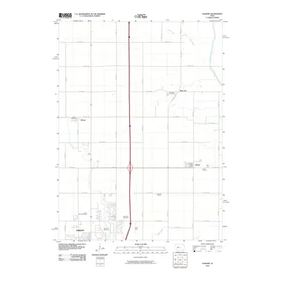
2010 Map of Elkhart
USGS Topo · Published 2010About this map
Ankeny anchor the southern edge of this Central Iowa landscape as it appeared in the early 21st century, showing the northward expansion of the Des Moines metropolitan area. The rural-to-suburban shift is evident where established agricultural lands meet developing recreational spaces like the Otter Creek Golf Course and Briarwood Golf Course. Smaller community centers such as Alleman and Elkhart remain distinct, each served by their own local institutions like the Alleman Post Office and Elkhart Post Office.
Find a feature on this map
28 named features on this map. Tap any name to fly to it.
Don’t see what you’re looking for? This feature index may not catch every label — zoom into the map to look around manually.
Map Details
Editions of this 2010 Elkhart Map
This is the sole edition of this map. No revisions or reprints were ever made.
Other maps of this area

1905 · Des Moines
USGS Topo · 1:62,500

1907 · Des Moines
USGS Topo · 1:62,500

1911 · Slater
USGS Topo · 1:62,500

1913 · Slater
USGS Topo · 1:62,500

1930 · Mitchellville
USGS Topo · 1:62,500

1954 · Des Moines
USGS Topo · 1:250,000

1956 · Des Moines
USGS Topo · 1:250,000

1956 · Des Moines NW
USGS Topo · 1:24,000

1956 · Des Moines NE
USGS Topo · 1:24,000

1956 · Des Moines
USGS Topo · 1:62,500