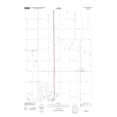
2013 Map of Elkhart
USGS Topo · Published 2013About this map
The town of Alleman and the community of Elkhart anchor this northern Polk County landscape in the early twenty-first century. This survey documents the expansion of suburban recreational and infrastructure elements into traditionally agricultural territory, most notably with the presence of Otter Creek Golf Course and Briarwood Golf Course near the northern edges of Ankeny. The central corridor is dominated by the north-south interstate route, marked by the Ankeny North Bound Rest Area and its southbound counterpart, which serves as a modern spine for the region's transport network.
Find a feature on this map
72 named features on this map. Tap any name to fly to it.
Don’t see what you’re looking for? This feature index may not catch every label — zoom into the map to look around manually.
Map Details
Editions of this 2013 Elkhart Map
This is the sole edition of this map. No revisions or reprints were ever made.
Other maps of this area

1905 · Des Moines
USGS Topo · 1:62,500

1907 · Des Moines
USGS Topo · 1:62,500

1911 · Slater
USGS Topo · 1:62,500

1913 · Slater
USGS Topo · 1:62,500

1930 · Mitchellville
USGS Topo · 1:62,500

1954 · Des Moines
USGS Topo · 1:250,000

1956 · Des Moines
USGS Topo · 1:250,000

1956 · Des Moines NW
USGS Topo · 1:24,000

1956 · Des Moines NE
USGS Topo · 1:24,000

1956 · Des Moines
USGS Topo · 1:62,500