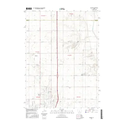
2015 Map of Elkhart
USGS Topo · Published 2015About this map
Elkhart and Alleman anchor this agricultural landscape on the border of Story and Polk counties. The terrain is defined by a grid of rural roads and the drainage patterns of the South Skunk River and Fourmile Cr. For genealogists and local historians, several small burial grounds are documented, including White Oak Cem, Keller Cem, and Brethren Cem, along with the larger Ankeny Memorial Gardens to the south.
Find a feature on this map
53 named features on this map. Tap any name to fly to it.
Don’t see what you’re looking for? This feature index may not catch every label — zoom into the map to look around manually.
Map Details
Editions of this 2015 Elkhart Map
This is the sole edition of this map. No revisions or reprints were ever made.
Other maps of this area

1905 · Des Moines
USGS Topo · 1:62,500

1907 · Des Moines
USGS Topo · 1:62,500

1911 · Slater
USGS Topo · 1:62,500

1913 · Slater
USGS Topo · 1:62,500

1930 · Mitchellville
USGS Topo · 1:62,500

1954 · Des Moines
USGS Topo · 1:250,000

1956 · Des Moines
USGS Topo · 1:250,000

1956 · Des Moines NW
USGS Topo · 1:24,000

1956 · Des Moines NE
USGS Topo · 1:24,000

1956 · Des Moines
USGS Topo · 1:62,500