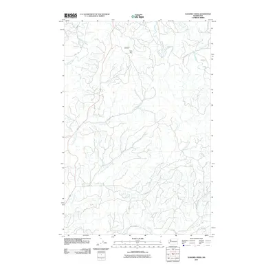
2011 Map of Elkhorn Creek
USGS Topo · Published 2011About this map
North River and its numerous tributaries define the drainage patterns of this Grays Harbor County landscape. The terrain is marked by significant elevations such as Scar Hill, while industrial activity is centered at the Rock Crusher Hill Quarry in the northern reaches. This 2011 survey reveals an intricate network of timber and access roads, including Sprucedale RD and Smith Creek RD, which follow the winding paths of the watercourses. The drainage system is particularly dense here, with the West Fork Elkhorn Creek and Lower Salmon Creek carving through the coastal hills. Genealogists and local historians can use these specific roadway and creek names to pinpoint family land tracts or historical forestry operations in this corner of Washington.
Find a feature on this map
23 named features on this map. Tap any name to fly to it.
Don’t see what you’re looking for? This feature index may not catch every label — zoom into the map to look around manually.
Map Details
Editions of this 2011 Elkhorn Creek Map
This is the sole edition of this map. No revisions or reprints were ever made.
Other maps of this area

1938 · South Bend
USGS Topo · 1:62,500

1940 · Montesano
USGS Topo · 1:62,500

1940 · South Bend
USGS Topo · 1:62,500

1953 · Hoquiam
USGS Topo · 1:250,000

1955 · Montesano
USGS Topo · 1:62,500

1955 · Raymond
USGS Topo · 1:62,500

1955 · Aberdeen SE
USGS Topo · 1:24,000

1957 · Hoquiam
USGS Topo · 1:250,000
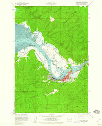
1957 · South Bend
USGS Topo · 1:24,000
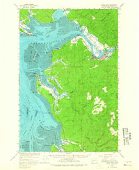
1957 · South Bend
USGS Topo · 1:62,500