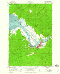
1957 Map of South Bend
USGS Topo · Published 1960About this map
The Willapa River anchors this coastal Pacific County landscape as it winds toward the expansive Willapa Bay. In the late 1950s, the city of South Bend stands as a hub of activity, with its waterfront characterized by numerous sloughs, including Mailboat Slough and Johnson Slough, and engineered features like levee systems and dolphins for maritime navigation. The local infrastructure of the era is well-defined, showing the Courthouse, a Stadium, and the City Reservoir along Smith Road.
Find a feature on this map
39 named features on this map. Tap any name to fly to it.
Don’t see what you’re looking for? This feature index may not catch every label — zoom into the map to look around manually.
Map Details
Editions of this 1957 South Bend Map
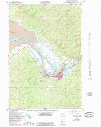
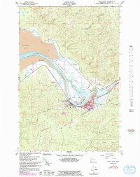
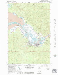
4 editions found
Other maps of this area

1938 · South Bend
USGS Topo · 1:62,500

1940 · Montesano
USGS Topo · 1:62,500

1940 · South Bend
USGS Topo · 1:62,500

1953 · Hoquiam
USGS Topo · 1:250,000

1955 · Montesano
USGS Topo · 1:62,500

1955 · Raymond
USGS Topo · 1:62,500
1955 · North Nemah
USGS Topo · 1:24,000

1955 · Aberdeen SE
USGS Topo · 1:24,000

1956 · Western
USGS Topo · 1:24,000

1957 · Hoquiam
USGS Topo · 1:250,000