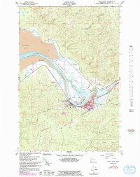
1957 Map of South Bend
USGS Topo · Published 1992About this map
South Bend serves as the focal point of this coastal survey, situated where the Willapa River flows into the expansive Willapa Bay. The town's civic character is defined by landmarks like the Courthouse and Stadium, while its logistical connection to the water is marked by a network of tidal features including Mailboat Slough, Johnson Slough, and The Narrows. A system of levees lines the riverbanks, protecting the low-lying terrain and the Willapa Harbor Airport.
Find a feature on this map
38 named features on this map. Tap any name to fly to it.
Don’t see what you’re looking for? This feature index may not catch every label — zoom into the map to look around manually.
Map Details
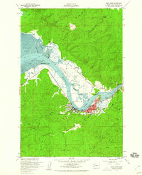
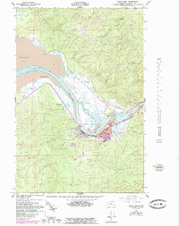
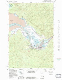
Editions of this 1957 South Bend Map
4 editions found
Other maps of this area

1938 · South Bend
USGS Topo · 1:62,500

1940 · Montesano
USGS Topo · 1:62,500

1940 · South Bend
USGS Topo · 1:62,500

1953 · Hoquiam
USGS Topo · 1:250,000

1955 · Montesano
USGS Topo · 1:62,500

1955 · Raymond
USGS Topo · 1:62,500
1955 · North Nemah
USGS Topo · 1:24,000

1955 · Aberdeen SE
USGS Topo · 1:24,000

1956 · Western
USGS Topo · 1:24,000

1957 · Hoquiam
USGS Topo · 1:250,000