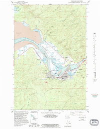
1957 Map of South Bend
USGS Topo · Published 1995About this map
South Bend serves as a focal point along the winding Willapa River in this mid-century topographic survey, showing the town's layout near Raymond. The map details the maritime and industrial character of the region, where Mailboat Slough and The Narrows define the complex waterways of the inner harbor. Evidence of local governance and community life is visible through landmarks like the Courthouse, the Stadium, and the large Cemetery on the eastern edge of town.
Find a feature on this map
44 named features on this map. Tap any name to fly to it.
Don’t see what you’re looking for? This feature index may not catch every label — zoom into the map to look around manually.
Map Details
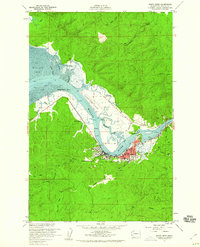
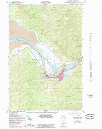
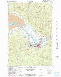
Editions of this 1957 South Bend Map
4 editions found
Other maps of this area

1938 · South Bend
USGS Topo · 1:62,500

1940 · Montesano
USGS Topo · 1:62,500

1940 · South Bend
USGS Topo · 1:62,500

1953 · Hoquiam
USGS Topo · 1:250,000

1955 · Montesano
USGS Topo · 1:62,500

1955 · Raymond
USGS Topo · 1:62,500
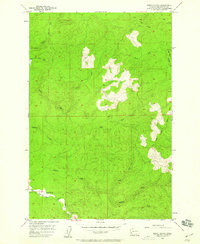
1955 · North Nemah
USGS Topo · 1:24,000

1955 · Aberdeen SE
USGS Topo · 1:24,000

1956 · Western
USGS Topo · 1:24,000

1957 · Hoquiam
USGS Topo · 1:250,000