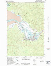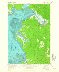
1957 Map of South Bend
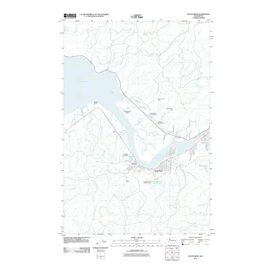
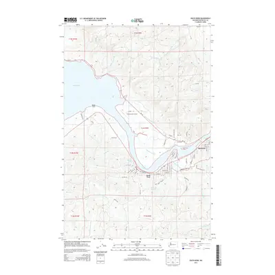
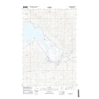
USGS Topo · Published 1967About this map
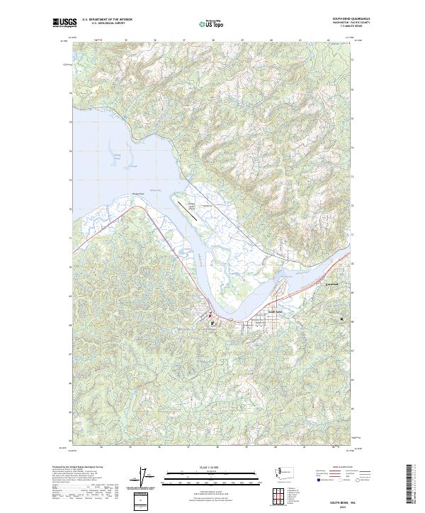
The timber and maritime industries of the Pacific Northwest are visible along the winding Willapa River and the shores of Willapa Bay. The city of South Bend serves as a focal point, where the Northern Pacific railroad tracks terminate alongside numerous quarries and industrial sites near The Narrows. This mid-century landscape is defined by its complex tidal geography, featuring extensive mud flats and specialized maritime navigation channels like Mailboat Slough and Bay Center Channel.
Find a feature on this map
69 named features on this map. Tap any name to fly to it.
Don’t see what you’re looking for? This feature index may not catch every label — zoom into the map to look around manually.
Map Details
Editions of this 1957 South Bend Map
This is the sole edition of this map. No revisions or reprints were ever made.
Historical Maps of Raymond Through Time
9 maps found