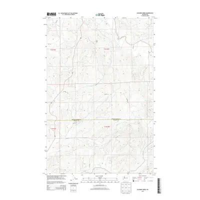
2013 Map of Elkhorn Creek
USGS Topo · Published 2013About this map
The Grays Harbor Co and Pacific Co boundary line bisects this region of southwestern Washington, dominated by a dense network of coastal river drainages. The North River flows through the northern reaches, joined by tributaries such as Salmon Cr and Tuttle Cr, while the central terrain is marked by the prominence of Scar Hill. The landscape is defined by its industrial and rural access routes, including Sprucedale Rd and Anderson Rd, which snake through the timber-rich hillsides. To the south, the namesake Elkhorn Cr and its W Fork Elkhorn Cr converge, feeding into a watershed that includes Smith Cr. This 2013 survey illustrates the modern configuration of forest service and county roads, such as A Line Rd and E Line Rd, which support the region's long-standing connection to the logging and maritime economies of the Pacific Northwest.
Find a feature on this map
23 named features on this map. Tap any name to fly to it.
Don’t see what you’re looking for? This feature index may not catch every label — zoom into the map to look around manually.
Map Details
Editions of this 2013 Elkhorn Creek Map
This is the sole edition of this map. No revisions or reprints were ever made.
Other maps of this area

1938 · South Bend
USGS Topo · 1:62,500

1940 · Montesano
USGS Topo · 1:62,500

1940 · South Bend
USGS Topo · 1:62,500

1953 · Hoquiam
USGS Topo · 1:250,000

1955 · Montesano
USGS Topo · 1:62,500

1955 · Raymond
USGS Topo · 1:62,500

1955 · Aberdeen SE
USGS Topo · 1:24,000

1957 · Hoquiam
USGS Topo · 1:250,000
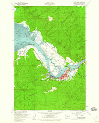
1957 · South Bend
USGS Topo · 1:24,000
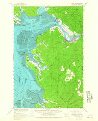
1957 · South Bend
USGS Topo · 1:62,500