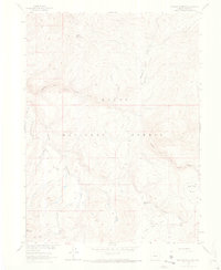
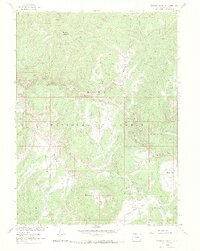
1962 Map of Elkhorn Mountain
USGS Topo · Published 1969About this map
Routt National Forest dominates this high-elevation terrain, mapped during the early 1960s as part of the Department of the Interior's Missouri River Basin development program. The landscape is defined by the headwaters of the Little Snake River, which is fed by numerous tributaries including Whiskey Park Creek and King Solomon Creek. Cultural markers in this wilderness are sparse but significant for local history, notably the Dead Mexican Park Grave located near the southern reaches of Big Red Park. High-altitude industry is represented by the Elkhorn Mine situated on the slopes of Elkhorn Mountain, while administrative presence is marked by the Summit Creek Guard Station. A network of transportation, including a Summit Trail, Pack Trail, and various Jeep Trails, indicates the movement of forest rangers, miners, and recreationists through the Circle Bar Basin and toward City Mountain.
Find a feature on this map
26 named features on this map. Tap any name to fly to it.
Don’t see what you’re looking for? This feature index may not catch every label — zoom into the map to look around manually.
Map Details
Editions of this 1962 Elkhorn Mountain Map
5 editions found
Other maps of this area

1911 · Hahns Peak
USGS Topo · 1:125,000

1913 · Hahns Peak
USGS Topo · 1:125,000

1932 · Savery
USGS Topo · 1:96,000

1939 · Saratoga
USGS Topo · 1:125,000

1940 · Savery
USGS Topo · 1:125,000

1954 · Rawlins
USGS Topo · 1:250,000

1954 · Craig
USGS Topo · 1:250,000

1957 · Craig
USGS Topo · 1:250,000

1958 · Rawlins
USGS Topo · 1:250,000

1958 · Craig
USGS Topo · 1:250,000