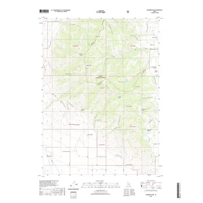
2020 Map of Elkhorn Peak
USGS Topo · Published 2020About this map
Caribou National Forest dominates this high-altitude landscape along the border of Oneida and Bannock counties. The area is defined by sharp elevation changes, anchored by Elkhorn Peak and Kents Peak, with numerous deep drainages like Danish Canyon and Bill Morgan Canyon carving through the mountainsides. The drainage network is complex, featuring headwaters for Indian Mill Cr and Elkhorn Cr, which eventually feed the southern Malad Valley floor near the Little Malad River.
Find a feature on this map
53 named features on this map. Tap any name to fly to it.
Don’t see what you’re looking for? This feature index may not catch every label — zoom into the map to look around manually.
Map Details
Editions of this 2020 Elkhorn Peak Map
This is the sole edition of this map. No revisions or reprints were ever made.
Other maps of this area

1954 · Pocatello
USGS Topo · 1:250,000

1958 · Pocatello
USGS Topo · 1:250,000

1963 · Daniels
USGS Topo · 1:24,000

1968 · Ireland Springs
USGS Topo · 1:24,000

1968 · Daniels
USGS Topo · 1:24,000

1968 · Malad Summit
USGS Topo · 1:24,000

1968 · Dairy Creek
USGS Topo · 1:24,000

1968 · Malad City West
USGS Topo · 1:24,000

1968 · Downey West
USGS Topo · 1:24,000

1968 · Malad City East
USGS Topo · 1:24,000