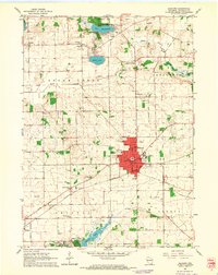
1960 Map of Elkhorn
USGS Topo · Published 1964About this map
Elkhorn serves as a central hub in Walworth County, its grid of streets concentrated around the County Fairground and essential community landmarks like the Armory and Central Sch. The surrounding landscape is defined by the transition from agricultural fields to the recreational shores of Delavan Lake, where the Lake Lawn Country Club and Lake Lawn Airstrip indicate the area's mid-century development as a leisure destination. Scattered crossroads like Tibbets and Abells Corners preserve the rural character of the county, while the Chicago Milwaukee ST Paul And Pacific railroad provides a vital industrial artery through the terrain.
Find a feature on this map
50 named features on this map. Tap any name to fly to it.
Don’t see what you’re looking for? This feature index may not catch every label — zoom into the map to look around manually.
Map Details
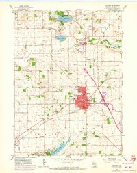
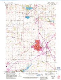
Editions of this 1960 Elkhorn Map
3 editions found
Other maps of this area

1892 · Whitewater
USGS Topo · 1:62,500

1892 · Eagle
USGS Topo · 1:62,500

1893 · Delavan
USGS Topo · 1:62,500

1893 · Whitewater
USGS Topo · 1:62,500

1893 · Geneva
USGS Topo · 1:62,500

1894 · Eagle
USGS Topo · 1:62,500

1897 · Eagle
USGS Topo · 1:62,500

1903 · Whitewater
USGS Topo · 1:62,500

1904 · Lake Geneva
USGS Topo · 1:62,500

1906 · Eagle
USGS Topo · 1:62,500