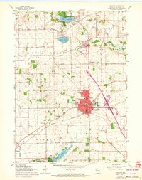
1960 Map of Elkhorn
USGS Topo · Published 1972About this map
Elkhorn serves as the focal point of this Walworth County landscape, showing the town's structural evolution from its 1960 survey through 1971 revisions. The map details a dense concentration of civic and social markers, including the County Fairground, St Patricks Sch, and the Armory. A notable network of rural cemeteries, such as Hazel Ridge Cem and Mt Olivet Cem, provides significant data for genealogists tracing family histories in the surrounding townships.
Find a feature on this map
59 named features on this map. Tap any name to fly to it.
Don’t see what you’re looking for? This feature index may not catch every label — zoom into the map to look around manually.
Map Details
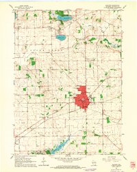
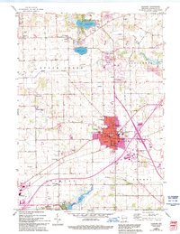
Editions of this 1960 Elkhorn Map
3 editions found
Other maps of this area

1892 · Whitewater
USGS Topo · 1:62,500

1892 · Eagle
USGS Topo · 1:62,500

1893 · Delavan
USGS Topo · 1:62,500

1893 · Whitewater
USGS Topo · 1:62,500

1893 · Geneva
USGS Topo · 1:62,500

1894 · Eagle
USGS Topo · 1:62,500

1897 · Eagle
USGS Topo · 1:62,500

1903 · Whitewater
USGS Topo · 1:62,500

1904 · Lake Geneva
USGS Topo · 1:62,500

1906 · Eagle
USGS Topo · 1:62,500