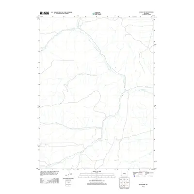
2012 Map of Elkol SW
USGS Topo · Published 2012About this map
The Emigrant Trl cuts through this high Wyoming landscape, following a drainage pattern dominated by the winding path of Little Muddy Cr. In this southwestern corner of the Elkol region, the terrain is defined by a network of seasonal and perennial streams including Ryckman Cr and Hill Cr that converge in the valley floors. Unlike the historical trail nearby, a modern Haul Rd appears in the eastern section of the map, suggesting more recent industrial or resource extraction activity. Other water features such as Sheep Cr, Bell Cr, and Whitney Cr mark the varied topography, providing crucial landmarks in an area otherwise characterized by its open, drainage-veined basins and ridges.
Find a feature on this map
8 named features on this map. Tap any name to fly to it.
Don’t see what you’re looking for? This feature index may not catch every label — zoom into the map to look around manually.
Map Details
Editions of this 2012 Elkol SW Map
This is the sole edition of this map. No revisions or reprints were ever made.
Other maps of this area

1954 · Ogden
USGS Topo · 1:250,000

1958 · Ogden
USGS Topo · 1:250,000

1960 · Ogden
USGS Topo · 1:250,000
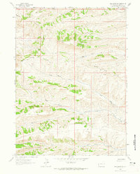
1962 · Bell Butte NE
USGS Topo · 1:24,000
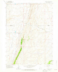
1962 · Cumberland Gap
USGS Topo · 1:24,000
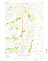
1962 · Elkol SW
USGS Topo · 1:24,000
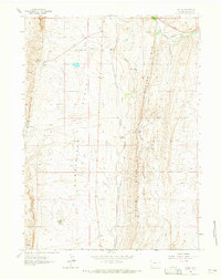
1962 · Elkol
USGS Topo · 1:24,000
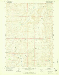
1962 · Warfield Creek
USGS Topo · 1:24,000
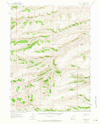
1962 · Bell Butte
USGS Topo · 1:24,000
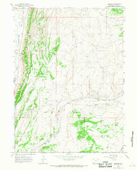
1965 · Bridger
USGS Topo · 1:24,000