
1962 Map of Elkol
USGS Topo · Published 1965About this map
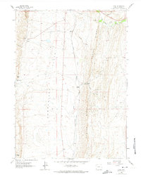
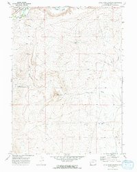
Oyster Ridge dominates this 1962 landscape in Lincoln County, creating a sharp geological divide between the high ground and the industrial activity of Cumberland Flats. This area was a hub of coal production and transportation, evidenced by the Union Pacific rail lines and various mining operations like the Radiant Mine and Lincoln Star Mine. The settlement of Elkol stands as a primary point of interest, supported by infrastructure including the Skull Point Res and several rail junctions such as Glencoe Junction and Blazon Junction. The transition from active rail use to legacy transport is visible through the presence of an Old Railroad Grade and a network of jeep trails. Natural drainage is primarily defined by Hams Fork and North Fork Muddy Creek, which cut through the ridges and gaps of the Wyoming terrain.
Find a feature on this map
22 named features on this map. Tap any name to fly to it.
Don’t see what you’re looking for? This feature index may not catch every label — zoom into the map to look around manually.
Map Details
Editions of this 1962 Elkol Map
4 editions found
Other maps of this area

1954 · Ogden
USGS Topo · 1:250,000

1954 · Kemmerer
USGS Topo · 1:62,500

1958 · Ogden
USGS Topo · 1:250,000

1960 · Ogden
USGS Topo · 1:250,000

1962 · Cumberland Gap
USGS Topo · 1:24,000

1962 · Elkol SW
USGS Topo · 1:24,000

1962 · Warfield Creek
USGS Topo · 1:24,000

1969 · Willow Springs
USGS Topo · 1:24,000
1969 · Mulkay Spring
USGS Topo · 1:24,000
1969 · Little Round Mountain
USGS Topo · 1:24,000