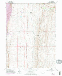
1962 Map of Elkol
USGS Topo · Published 1995About this map
Oyster Ridge dominates the eastern horizon of this Lincoln County survey, creating a sharp geological barrier between the coal-rich slopes and the open Cumberland Flats to the west. The landscape reflects a legacy of extraction, where small mining settlements like Elkol and Blazon once anchored a network of industrial sites. Several specific operations are identified along the ridge line, including the Glencoe Mine, Radiant Mine, and Lincoln Star Mine.
Find a feature on this map
22 named features on this map. Tap any name to fly to it.
Don’t see what you’re looking for? This feature index may not catch every label — zoom into the map to look around manually.
Map Details
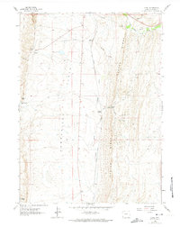
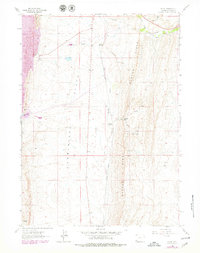
Editions of this 1962 Elkol Map
4 editions found
Other maps of this area

1954 · Ogden
USGS Topo · 1:250,000

1954 · Kemmerer
USGS Topo · 1:62,500

1958 · Ogden
USGS Topo · 1:250,000

1960 · Ogden
USGS Topo · 1:250,000

1962 · Cumberland Gap
USGS Topo · 1:24,000

1962 · Elkol SW
USGS Topo · 1:24,000

1962 · Elkol
USGS Topo · 1:24,000

1962 · Warfield Creek
USGS Topo · 1:24,000

1969 · Willow Springs
USGS Topo · 1:24,000
1969 · Mulkay Spring
USGS Topo · 1:24,000