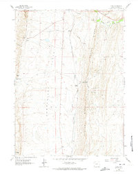
1962 Map of Elkol
USGS Topo · Published 1974About this map
Industrial activity and coal mining define this Lincoln County landscape, centered on the high verticality of Oyster Ridge. The Union Pacific railroad and an Old Railroad Grade thread through the terrain, connecting small coal camps and extraction sites such as Elkol and Blazon Junction. The map documents a specialized mining geography with several named operations including the Glencoe Mine, Radiant Mine, and Lincoln Star Mine, often situated near the rugged passes of Blazon Gap. Below the ridgeline, the environment shifts toward the open Cumberland Flats and the drainage of Little Muddy Creek. This survey captures the height of the area's resource-driven development, where infrastructure like a Pipeline and multiple Gravel Pits supported the local mining economy alongside natural landmarks like Skull Point and Crockers Point.
Find a feature on this map
28 named features on this map. Tap any name to fly to it.
Don’t see what you’re looking for? This feature index may not catch every label — zoom into the map to look around manually.
Map Details
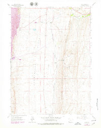
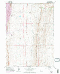
Editions of this 1962 Elkol Map
4 editions found
Other maps of this area

1954 · Ogden
USGS Topo · 1:250,000

1954 · Kemmerer
USGS Topo · 1:62,500

1958 · Ogden
USGS Topo · 1:250,000

1960 · Ogden
USGS Topo · 1:250,000

1962 · Cumberland Gap
USGS Topo · 1:24,000

1962 · Elkol SW
USGS Topo · 1:24,000

1962 · Elkol
USGS Topo · 1:24,000

1962 · Warfield Creek
USGS Topo · 1:24,000

1969 · Willow Springs
USGS Topo · 1:24,000
1969 · Mulkay Spring
USGS Topo · 1:24,000