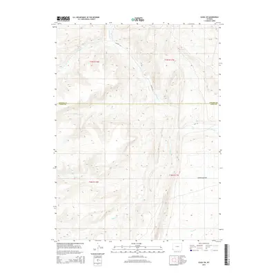
2015 Map of Elkol SW
USGS Topo · Published 2015About this map
The Emigrant Trl cuts across this high-desert terrain, following a path of early westward expansion through the southwestern corner of Wyoming. This 2015 survey reveals a landscape defined by seasonal watercourses like Little Muddy Cr and Ryckman Cr, which carve through the divide near the Lincoln and Uinta County line. The presence of the Haul Rd suggests modern industrial activity or resource extraction alongside these historic routes. Toward the southeast, the geography transitions into the broad expanse of Cumberland Flats, where the relief softens. Tributaries such as Hill Cr, Bell Cr, and Whitney Cr drain the surrounding ridges, mapping a network of drainages that have dictated movement through this region for generations, from the days of the wagon trails to contemporary utility.
Find a feature on this map
14 named features on this map. Tap any name to fly to it.
Don’t see what you’re looking for? This feature index may not catch every label — zoom into the map to look around manually.
Map Details
Editions of this 2015 Elkol SW Map
This is the sole edition of this map. No revisions or reprints were ever made.
Other maps of this area

1954 · Ogden
USGS Topo · 1:250,000

1958 · Ogden
USGS Topo · 1:250,000

1960 · Ogden
USGS Topo · 1:250,000
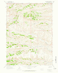
1962 · Bell Butte NE
USGS Topo · 1:24,000
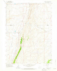
1962 · Cumberland Gap
USGS Topo · 1:24,000
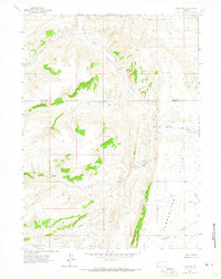
1962 · Elkol SW
USGS Topo · 1:24,000
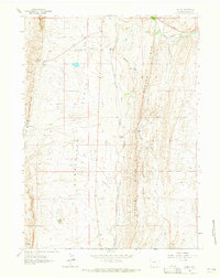
1962 · Elkol
USGS Topo · 1:24,000
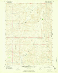
1962 · Warfield Creek
USGS Topo · 1:24,000
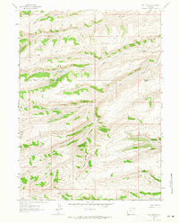
1962 · Bell Butte
USGS Topo · 1:24,000
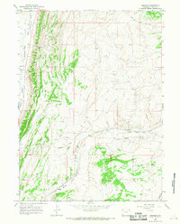
1965 · Bridger
USGS Topo · 1:24,000