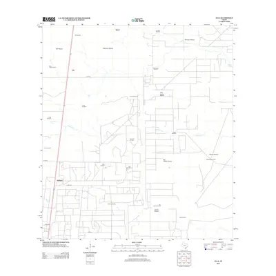
2013 Map of Ella
USGS Topo · Published 2013About this map
Ranching life and livestock management define the landscape of south Texas near Ella and Seeligson in the early 21st century. The terrain is partitioned into extensive named pastures, such as Ella Pasture, Ratamosa Pasture, and Borregos Pasture, reflecting the large-scale landholding patterns typical of Jim Wells County. A sophisticated network of water infrastructure is mapped in detail, with numerous wells and windmills including the King Ranch Windmill, Javalina Windmill, and Guajalote Windmill providing the essential resources for cattle in this semi-arid region.
Find a feature on this map
33 named features on this map. Tap any name to fly to it.
Don’t see what you’re looking for? This feature index may not catch every label — zoom into the map to look around manually.
Map Details
Editions of this 2013 Ella Map
This is the sole edition of this map. No revisions or reprints were ever made.
Other maps of this area
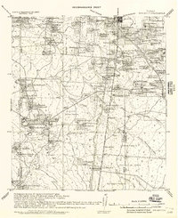
1917 · Ben Bolt
USGS Topo · 1:62,500
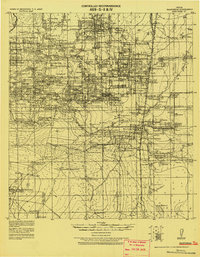
1921 · Falfurrias
USGS Topo · 1:125,000
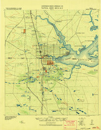
1928 · Sarita
USGS Topo · 1:125,000
1950 · Corpus Christi
USGS Topo · 1:250,000
1954 · Kingsville
USGS Topo · 1:62,500
1954 · Riviera
USGS Topo · 1:62,500
1956 · Corpus Christi
USGS Topo · 1:250,000

1956 · Laredo
USGS Topo · 1:250,000
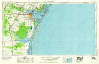
1960 · Corpus Christi
USGS Topo · 1:250,000
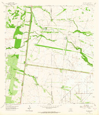
1963 · Ben Bolt SE
USGS Topo · 1:24,000